
LESSON 2
What Can Satellites Tell Us About the Ocean?
Introduction:
Watching the Blue Planet from Above
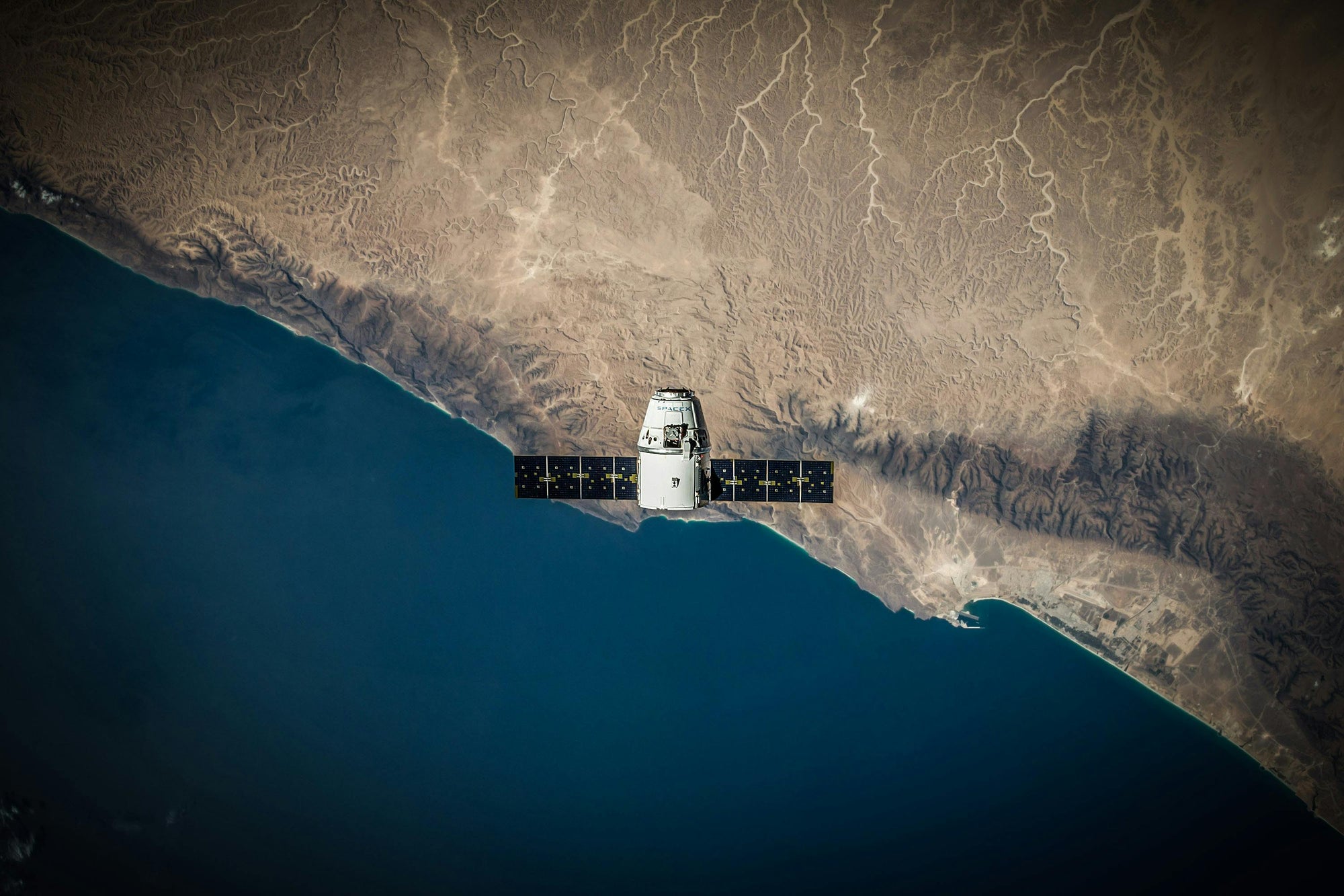
Over 70% of Earth is covered by ocean—yet much of it is vast, remote, and difficult to study directly. That’s where satellites come in.
Orbiting hundreds of kilometres above us, satellites are helping scientists observe and monitor the ocean every day, in every corner of the globe. From rising temperatures to blooming plankton, satellites offer an essential bird’s-eye view of ocean health and change.
In this lesson, we’ll explore how satellite technology helps us understand the sea—from the surface temperature of the Pacific to the colour of a coral reef lagoon—and why this global perspective is more important than ever.
1. Sea Surface Temperature: Tracking Ocean Heat
Why it matters:
Ocean temperature influences everything from storm strength to fish migration. Even small changes can signal major shifts in climate and marine ecosystems.
Satellites equipped with infrared sensors can detect the heat radiating off the surface of the ocean with incredible precision.
This helps scientists:
- Monitor long-term warming trends caused by climate change
- Detect short-term marine heatwaves, which can devastate coral reefs and fisheries
- Track El Niño and La Niña events, which affect global weather and rainfall patterns

Did you know?
In 2016, satellite data helped identify a massive marine heatwave in the Great Barrier Reef—triggering widespread coral bleaching.
2. Ocean Colour: Signals from Tiny Life
The ocean isn’t just blue. Its colour changes subtly based on what’s in the water—especially phytoplankton, the microscopic algae that form the base of the marine food web.
Satellites can detect different wavelengths of reflected sunlight, revealing concentrations of chlorophyll-a, the green pigment in phytoplankton.
This allows scientists to:
- Track plankton blooms, which feed everything from krill to whales
- Identify harmful algal blooms (HABs) that produce toxins and damage marine life
Monitor seasonal productivity patterns, helping us understand global carbon cycling

Did you know?
In 2021, satellite colour data helped detect a massive red tide off Florida—allowing early warnings for beach closures and fisheries.
3. Sea Level and Ocean Circulation: Measuring the Rise
Satellites equipped with radar altimeters send pulses of energy to the ocean’s surface and measure how long it takes for the signal to bounce back. From this, they calculate sea surface height with incredible accuracy.
Why this is vital:
- Sea level rise is one of the clearest signals of climate change.
- Changes in sea surface height also reflect shifting ocean currents, which affect climate, weather, and marine life distribution.

What we’ve learned
Global sea level has risen by about 8–9 cm since the 1990s, with rates increasing due to melting ice and thermal expansion

What we’ve learned
Large current systems like the Gulf Stream and the Antarctic Circumpolar Current are monitored from space to detect slowing, intensifying, or changing patterns
Did you know?
After major storms or hurricanes, satellites can map storm surges and flooding.
4. Coastal Monitoring: Protecting the Edges
Satellites aren’t just for the open ocean—they also help monitor rapidly changing coastal zones, where most human–ocean interaction occurs.
Real-time tracking helps
Tracking coastal erosion, sea-level rise, and sedimentation
Monitoring wetland loss, mangrove health, and seagrass meadows
Identifying oil spills, floating debris, and plastic patches
Assessing the impact of storms, tsunamis, or hurricanes on coastlines
Did you know?
Coastal restoration projects use satellite data to evaluate whether ecosystems are recovering or declining over time.
5. A Global Perspective for a Changing Ocean
Perhaps the most powerful benefit of satellites is that they allow us to observe the ocean consistently and globally.
Why this matters:
1) Fieldwork is expensive, limited by location, weather, and depth.
2) Satellites provide near-daily data across the entire planet, helping scientists:
- Spot sudden changes in ocean health
- Track long-term trends in climate and biodiversity
- Respond quickly to disasters or ecological events
The future of ocean conservation relies on having the big picture—and satellites are the tool that helps complete it.

Conclusion
Eyes on a Living, Changing Sea
The ocean is vast, dynamic, and vital to life on Earth—but we can’t protect what we can’t see. That’s why satellite technology has become one of the most powerful tools in ocean science.
By offering a continuous, global perspective, satellites allow scientists to:
- Detect warning signs of climate change
- Track the health of coral reefs, plankton blooms, and coastlines
- Understand the movements of water, heat, and life
- Respond quickly to environmental crises—before it’s too late
While satellites can’t replace boots-on-deck fieldwork or underwater research, they give us something else: the big picture. They help scientists, conservationists, and communities make informed decisions about how to protect the ocean—from above.
In an era of rising seas and rapid change, watching from space just might help save what lies beneath the surface.
Key Takeaways:
Satellites track sea surface temperature, sea level, and ocean currents, helping scientists monitor climate change and predict extreme weather.
Ocean colour data reveals plankton activity and harmful algal blooms, offering insight into marine food webs and ecosystem health.
Coastal zones can be monitored remotely for erosion, habitat loss, pollution, and storm impacts—supporting conservation and restoration.
Satellites provide a global, real-time view of ocean health, making them essential tools for climate forecasting, research, and rapid response.
NEXT LESSON
What Is DNA Barcoding, and How Do We Discover New Species?
Join us as we dive beneath the microscope to see how genetic tools are helping scientists uncover hidden species, solve ecological mysteries, and protect ocean biodiversity.


